
Glacier Cave Explorers
Glacier Caves of the Cascades
Glacier Cave Explorers pioneers new ways to collect valuable data from under the ice, before these unique scientific laboratories disappear completely.
Why explore glacier caves?
Glaciers are retreating at an alarming rate, taking with them valuable scientific information. Most glaciers have crevasses, but few have cave systems.
Glaciers are universally accepted indicators of climate change and global warming. Their caves offer a rare view into the internal workings of a glacier. In addition to climatology, this research gives us a chance to look at our past, brace ourselves for impacts on our watershed, save lives, protect our natural resources, as well as take a look at our future.
Adapted from the Glacier Cave Explorers website (2016).
Three volcanoes, three kinds of glacier
Our research is based in glacier caves located on Pacific Northwest volcanoes. The projects on Mt Hood, St Helens and Mt Rainier represent three distinct and complementary types of glaciers: receding, growing, and balanced. As of 2016, the team had ongoing study sites on all three.
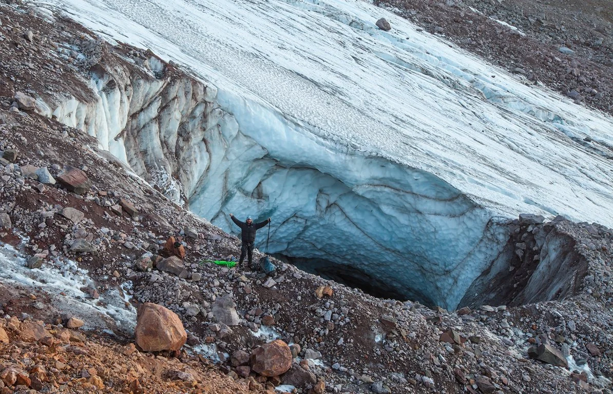
Balanced: Mt Rainier
Cave systems in the East and West Crater ice caps, examples of glaciers in balance.
Mt Hood: the Sandy Glacier Caves
This was our first glacier cave project. Losing the Sandy Glacier is like losing a friend. The Oregon High Desert Grotto received an award from the National Speleological Society for our work in the Sandy Glacier Caves. The team re-surveyed these caves at least once a year to track their rapid demise, conduct climatology studies, and collect water and microbial samples.
As the Sandy Glacier retreats, the caves pull back as well and leave rock debris piles at the end of each melt season, marking where the entrance used to be.
The Snow Dragon system includes Snow Dragon, Pure Imagination and Frozen Minotaur caves. Supplementary maps of all three appeared in the February 2013 issue of the NSS News.
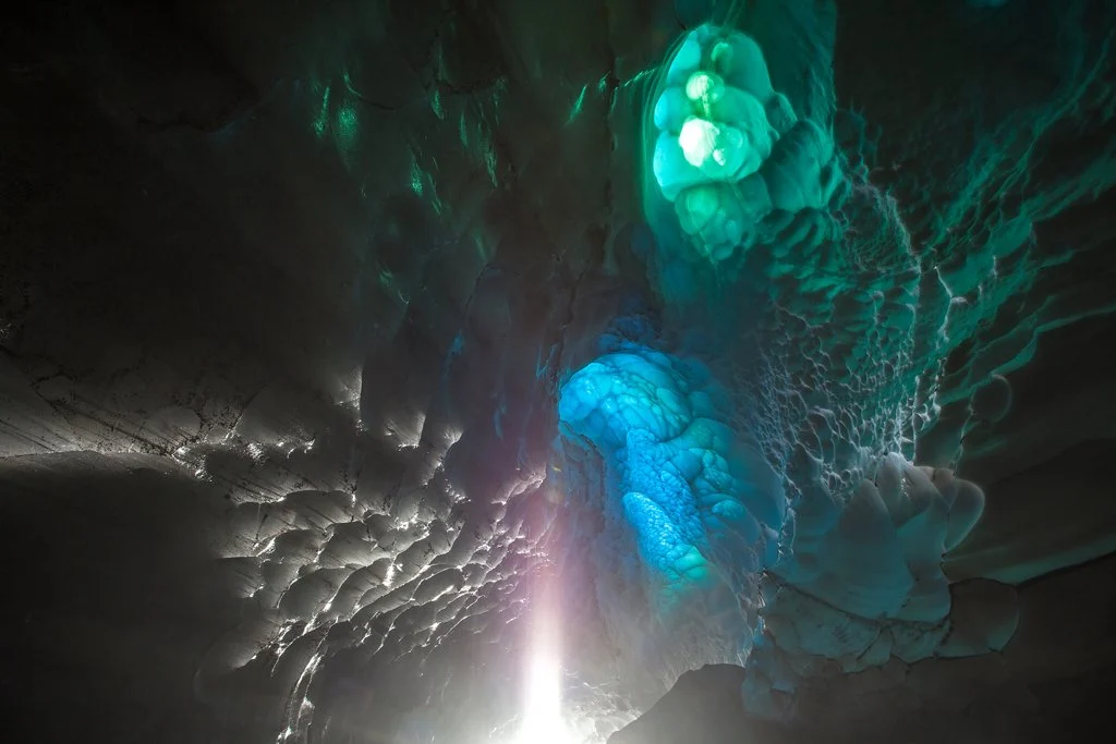
Photo credit: contact Jeff Taylor
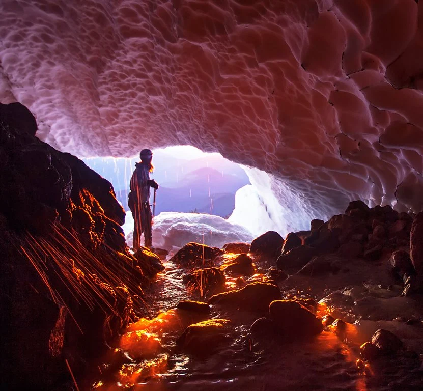
Photo credit: contact Jeff Taylor
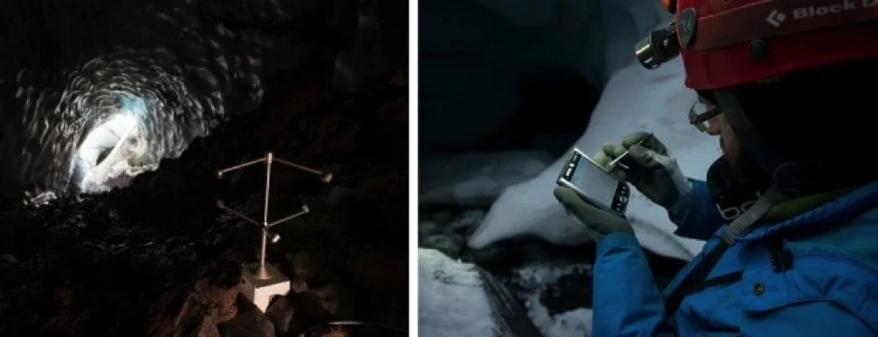
Photo credit: contact Jeff Taylor
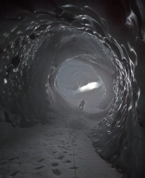
Photo credit: contact Jeff Taylor
Watch: inside the Sandy Glacier Caves
What happened next: in the Mount Hood Glacier Caves Special (29 minutes, on PBS), Oregon Field Guide returns to the Sandy Glacier with a team of scientists to find out why the caves documented in 2013 have all but disappeared.
For more, see Thin Ice: Exploring Mount Hood’s Glacier Caves from Oregon Field Guide, and the award-winning Oregon Field Guide show “Mt. Hood’s Secret World.”
Mt St Helens: the Crater Glacier Caves
St Helens is home to the only growing glacier in the lower 48 states. It features cavernous caves formed by fumaroles.
These caves are formed almost entirely from steam fumaroles that send heat upward to bore out huge, cavernous rooms in steep passages. The eruption in 1980 created a vast crater with a north-facing breach, a virtual glacier factory. The smaller 2004 eruption reshaped the glacier and spawned a new generation of glacier caves.
This is an extremely young, active, and dynamic subglacial environment, perfect for advanced studies in climatology, geothermal activity, and microbiology.
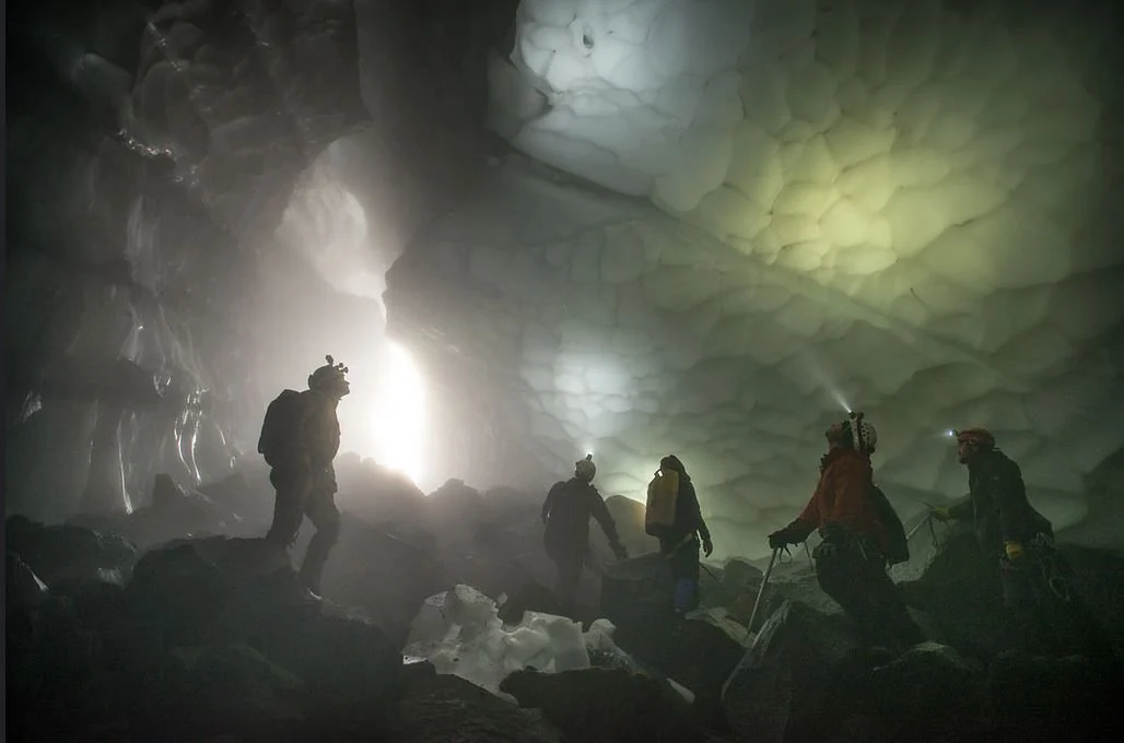
Photo credit: contact Jeff Taylor
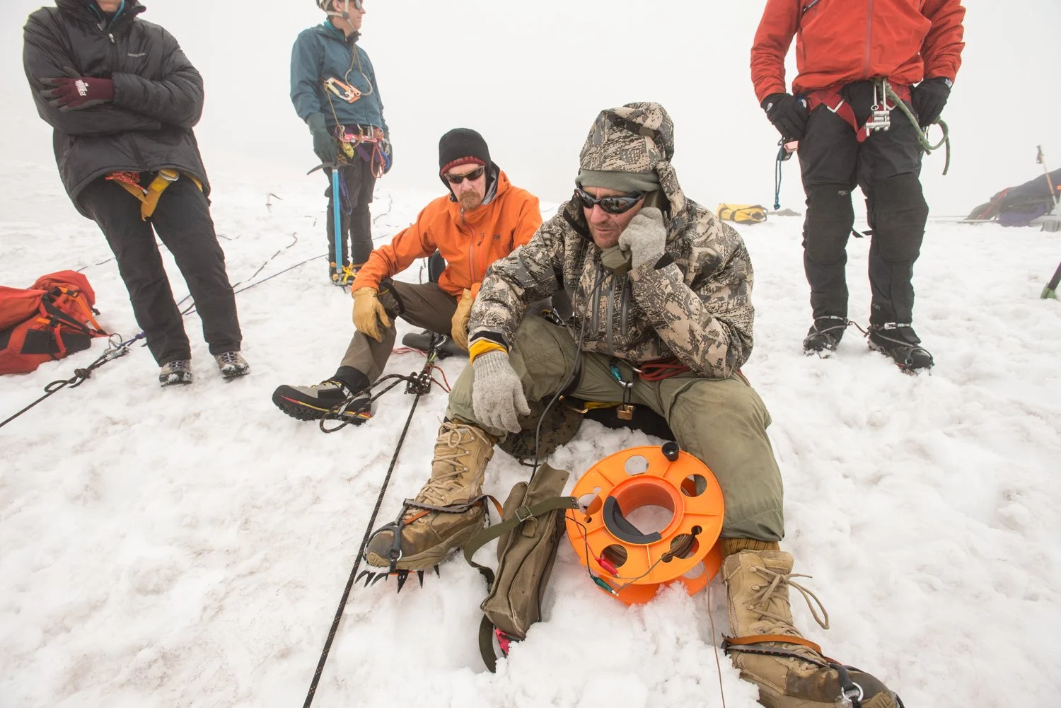
Photo: Eric Guth
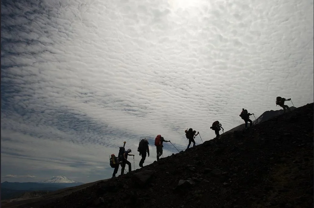
Photo credit: contact Jeff Taylor
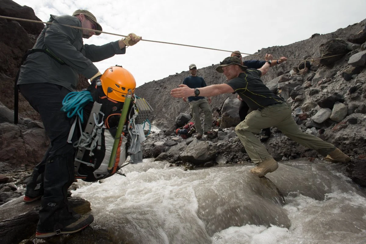
Photo: Eric Guth
Watch: the first expedition into the crater
Mt Rainier: the Summit Fumarole Caves
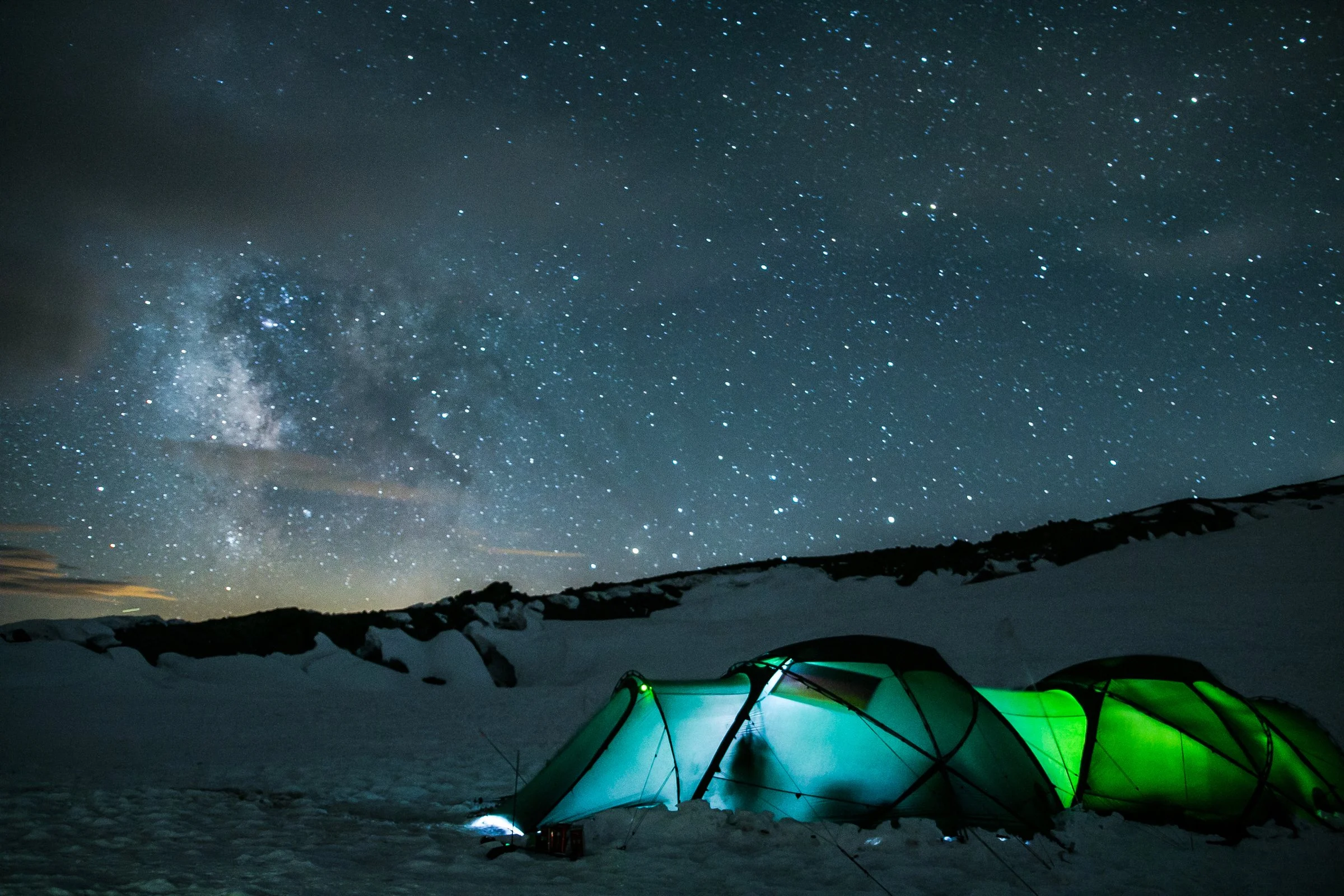
Rainier was our newest and most ambitious project. The East Crater glacier is actually a trapped ice plug that doesn’t flow over the crater rim; the ice stays contained within its crater. By contrast, the West Crater ice cap flows over its crater edge and feeds some of the glaciers high up on the mountain. Both ice caps seem to be in an approximate state of balance: the amount of snow that accumulates annually roughly equals the amount of melting from geothermal heating on the crater floor.
The value of studying a ‘balanced’ glacier is that a scale in balance is easily tipped one way or the other. This glacier cave scenario lets us detect even subtle changes in climate or the geothermal output of the mountain.
National Geographic documented the 2015 Rainier expedition in its “Expedition Raw” series.
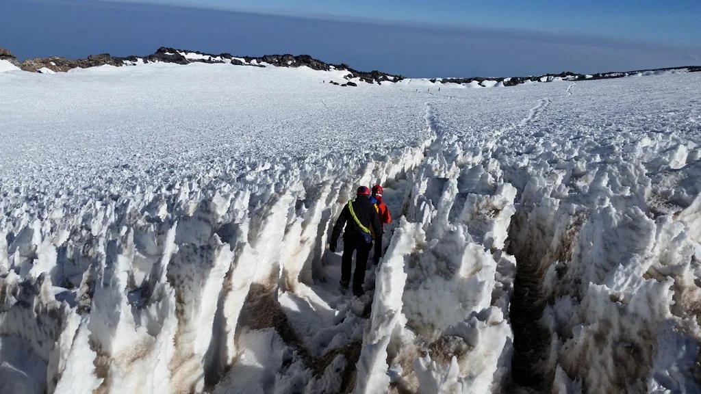
Photo credit: contact Jeff Taylor
What we learn
Glacier caves provide unique opportunities to gather data that can only be found at the dynamic interface between ice and rock. One of our goals is to learn how glacier caves influence the growth and recession of glaciers, and how they channel the effects of climate and geothermal activity.
Glaciers are dynamic rivers of ice, always in a state of change. Unlike rock caves, which are basically static, these caves are different each time we visit. By surveying and measuring the glacier caves year after year, we hope to relate their volumetric change to the rate of recession or growth in the glacier.
- A look at our past. Glacier caves reveal the many layers of ice that have accumulated over the centuries. Like tree rings, the chemical make-up of each layer is a record of what was happening in the atmosphere that year.
- Watershed impact. When glaciers disappear, so does their water. Learning why our ice packs are disappearing helps us protect them or plan for the consequences.
- Saving lives. The cave maps we generate can be used by search and rescue teams, and research on volcanoes can help predict future destructive behavior.
- Natural resource management. We provide follow-up reports to help the Forest Service and National Parks manage these wilderness areas.
- A look at our future. Rare microbial communities live where the ice meets lava rock, and fumaroles feed them. Astrobiologists study them for clues to life under the ice of Mars and Europa.
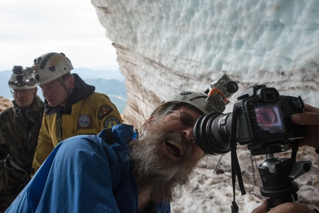
Photo credit: contact Jeff Taylor
Volcanic gases can also alter the chemistry of rock, water, and ice, turning rock into unstable clay-like material that can cause collapses and debris flows (lahars) with little warning. Geochemical data from the caves may one day help predict them. Based on our surveys, we generate 3-dimensional maps that show where every sample and reading was taken, so data from different disciplines can be compared over the years.
Risks and challenges
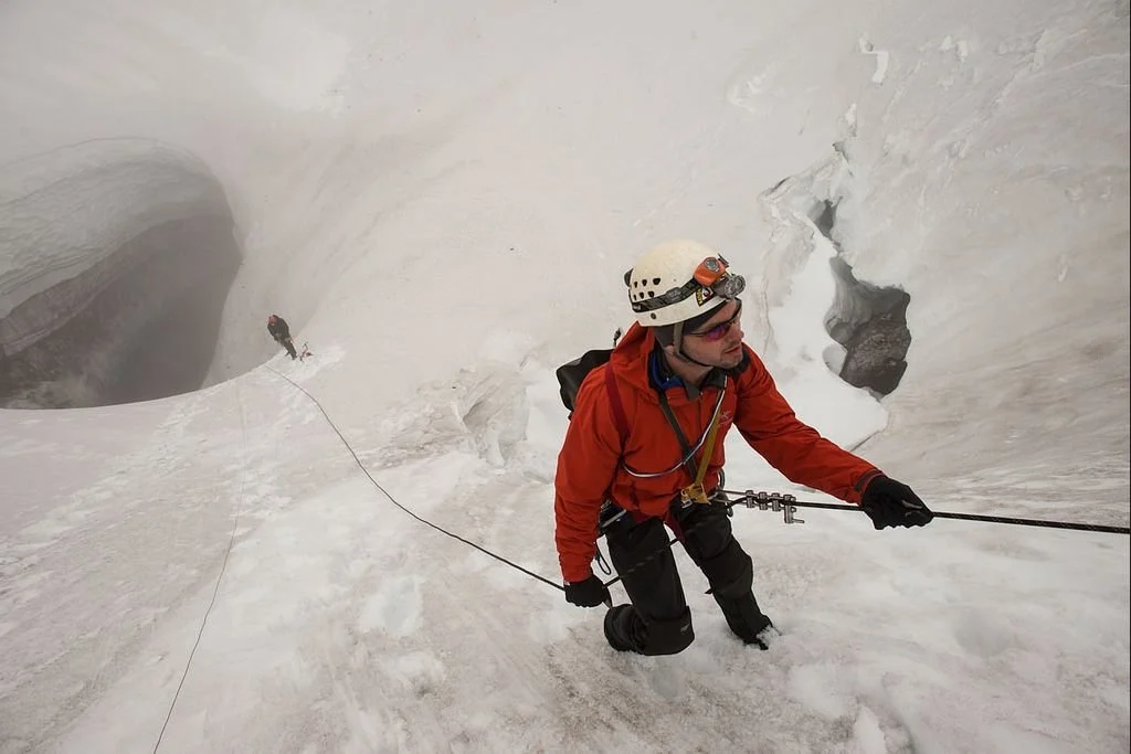
We work in incredibly challenging scientific venues in some of the most remote locations on Earth: not just at altitude on the side of a glacier, but under a moving ice pack. Add the threat of avalanches, underground ice collapse, falling rocks, toxic volcanic gases, and glacial flooding, and this is ‘frontier work’ in uncharted territory.
Mountains make their own weather, and helicopter-based rescues are often not possible. The team has to be completely self-reliant, with its own rescue teams above and below ground. It includes Mountain Rescue Association rescue leaders, National Cave Rescue Commission-trained cave rescuers, expedition doctors and paramedics, logistics specialists and experienced expedition leaders, and expeditions run under the Incident Command System.
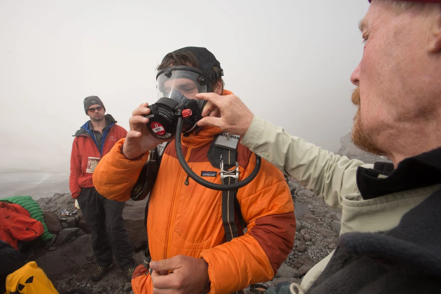
Photo: Eric Guth
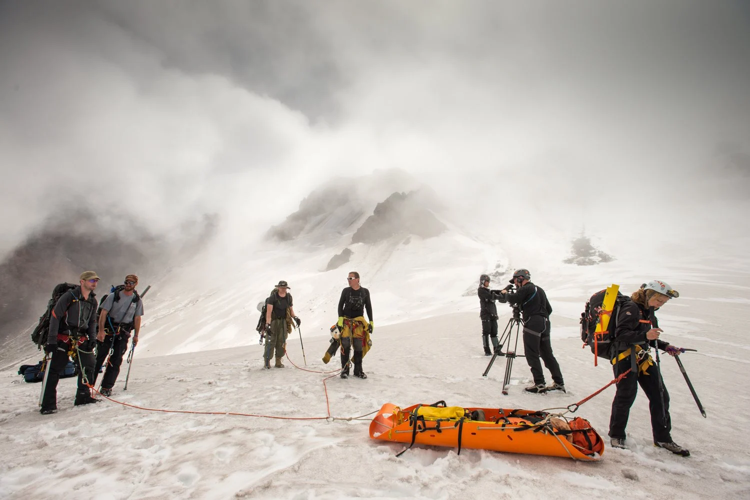
Photo: Eric Guth
The team
Glacier Cave Explorers was started by Eddy Cartaya and Brent McGregor, experienced cavers and mountaineers who share a passion for exploration and discovery. In 2011, they surveyed and explored their first true glacier cave system and quickly discovered how these caves influence the life cycle of glaciers. Since then, they have recruited a collaborative, multidisciplinary team of experts.
Most people can’t do this work. These expeditions require a rare mix of mountaineering, ice-climbing, rope rigging, glaciology, scientific methodology, expedition logistics, cave survey, and wilderness medicine. Scientists guide the data collection remotely, and the volunteers follow their methods in the field.
The project was supported by Globalstar, Spot, Hilleberg Tents, Industrial Scientific, Crackerjack First Response Specialists, REI, Honey Stinger, Deployed Logix, Picky Bars, Metolius, Outdoor Research, Deschutes Brewery, Pine Mountain Sports and Justin’s. Thank you.
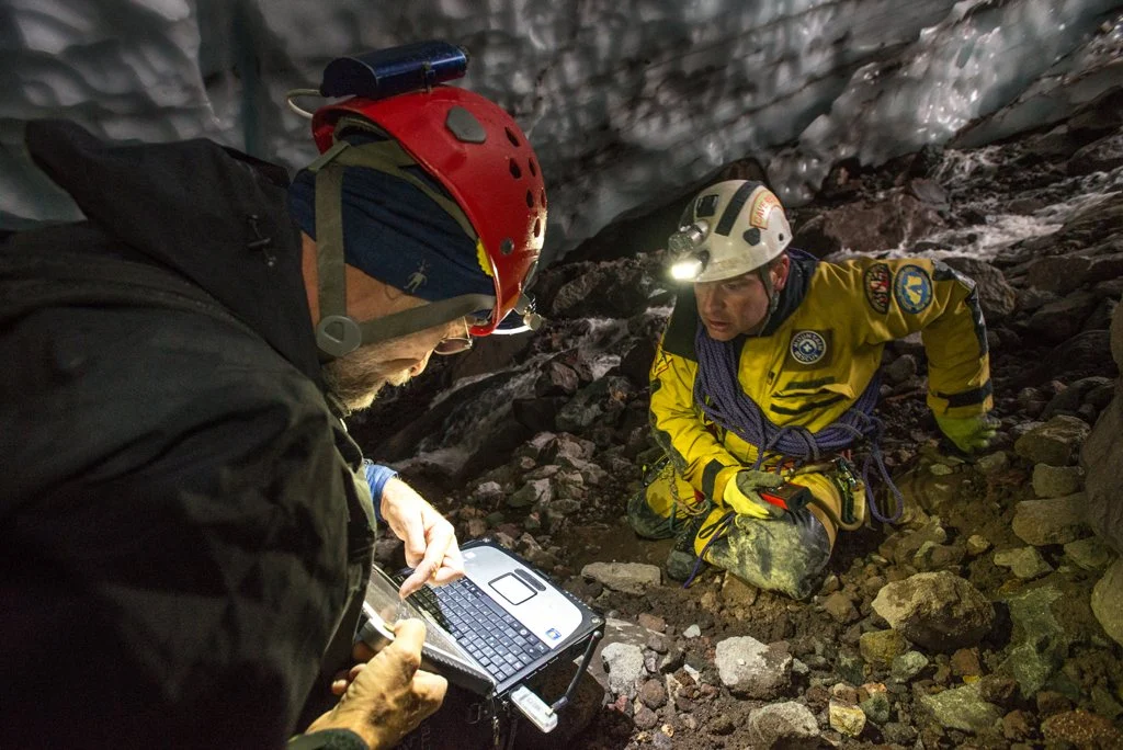
Photo: Eric Guth